Rainforest Alliance Volume Calculator
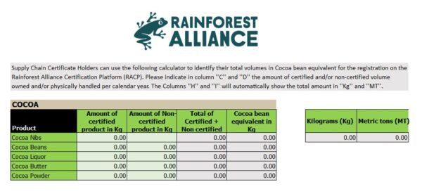
This Excel calculator helps Supply Chain Certificate Holders (CHs) and prospects estimate the total amount of certified and non-certified volume purchased and/or handled in twelve months when registering in our new Rainforest Alliance program on the Rainforest Alliance Certification Platform (RACP). The calculator consists of one Excel file and one tab for each crop (Cocoa, […]


